5 Of The Best Apps For Hiking
Whilst it is true that the essentials you need for hiking don't usually include an app on your mobile phone, it can be easy to rule out the benefits of technology. There are now a range of apps available to help you plan routes, navigate, and enhance your hiking experience. Here's our pick of 5 of the most useful apps available for hiking.
OS Maps
An Ordnance Survey Map has for a long time been the key piece of any hikers arsenal. Having surveyed the British Isles for over 200 years, OS Maps are unrivalled in their accuracy and detail. Thanks to developments in technology, you can now access your maps on your mobile device making them easier than ever to use. With the free version of the app you are able to view basic maps. However, for higher detail offline there are options to subscribe, and most physical OS Maps now come with a download code for the area covered by that map.
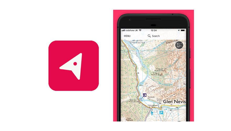
View Ranger
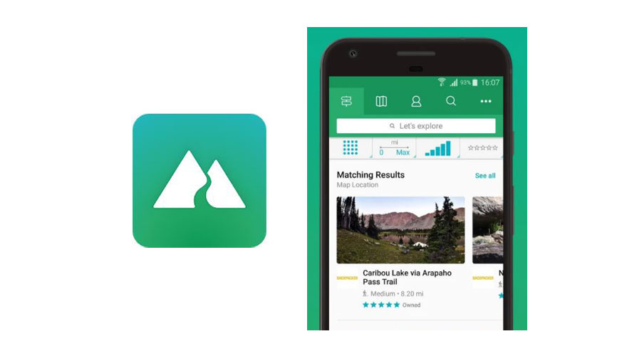
Viewranger is a great app that allows you to navigate, track your hikes, and discover new trails. It's easy to use and offers full topographic maps. Users are able to create and share routes which you are then able to download and follow - this is great for hiking in new areas or discovering new routes that are local to you. Even with the free option, certain map details continue to work offline. If you decide to pay for a subscription then you get access to additional features such as map layers, 3d flyover, and Skyline AR which allows you to look through the camera of your phone and identify each peak around you.
Komoot
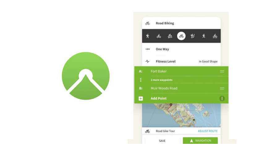
Komoot is currently one of, if not the most popular route planning apps that are currently available. It offers easy and intuitive route planning, allowing you to link together popular 'segments' and stop-offs. The app allows you to enter your fitness level and will plan routes accordingly (routing either easier/flatter or technical/hilly terrain). You also have the ability to share routes and download other users hikes to follow. Komoot's navigation feature is excellent, with turn-by-turn voice navigation meaning hands-free hiking.
Geochaching
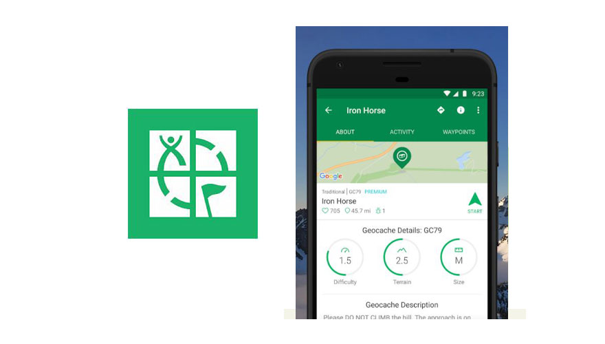
Geocaching is a great way to add adventure and discovery to hiking. By solving puzzles and creating routes to marked locations, you discover the cache which are hidden containers spread across the world. Geocaching originally involved taking cache locations from your computer and inputting them on a GPS device, however, with the advancement of smartphones, it is now easier than ever to get out and involved in the worlds largest treasure hunt.
MET Office
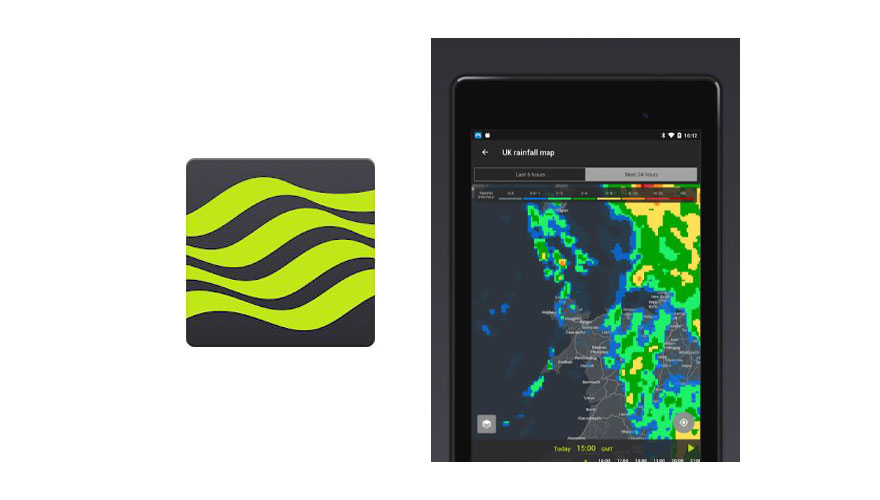
Having accurate and up-to-date weather is essential when you are out in the elements. The Met Office app provides just that. With accurate weather coverage from 1 hour up to 7 days ahead, you can plan and prepare for any adventure. The app also has full rainfall radar maps which display perception movements and amounts in hourly intervals.
About the Author:Huw Saunders - Outdoor ExpertGrowing up in rural Wales, Huw has been immersed in the outdoors for as long as he can remember. If not surfing the Welsh coast, he can now usually be found either running or hiking in the Peak District and through the winter, tries to get out to Europe to ski as much as possible. |